The chart shows how little precipitation the Arctic Circle gets. In comparison Denver gets about .65 Inch to 2.5 inch's a mouth.
In resent years "global worming" has been a very hot topic. People are getting nervous that in the Arctic Circle a lot of the glaciers will start melting. the real reason that the snow is melting is the ice-albedo feedback, whereby an initial warming causes snow and ice to melt, exposing darker surfaces that absorb more sunlight, leading to more warming. Its not just "Global Worming" that is going to melt all of the frozen water we have.
This chart shows how the temperature has changed from 1951 to 1980
The Coriolis force explains why winds circulate around high and low pressure systems as opposed to blowing in the direction of the pressure gradient. The following picture shows how wind is deflected in each different part of the world.

The winds from the Coriolis effect can change the pattern of an object moving through the air.
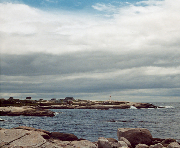
All air contains at least some water vapor, but the amount of water vapor changes a lot from place to place and from time to time. The amount of water vapor in the air can change because water evaporates up from the ground, water, or even plants at different times and different amounts. If you are in the Arctic Circle you might see a Stratocumulus cloud like the picture below.

No comments:
Post a Comment